By Robert Lim
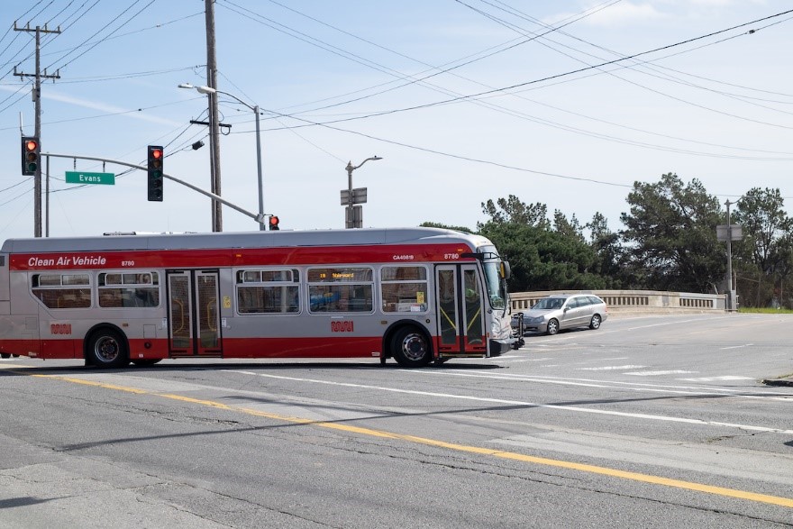
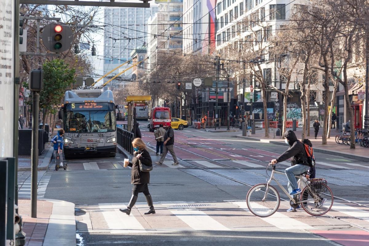
Have you ever wondered how traffic signals could better balance the needs of all road users, whether driving, bicycling, walking or taking Muni? The SFMTA is rolling out its Connected Corridor Pilot this month to use transit platform and traffic signal sensor data to inform signal timing adjustments. The pilot also aims to collect information to support transit efficiency and street safety improvements. Traffic engineers use signal timing adjustments as a tool to prioritize the flow of travel in specific directions or for different travel modes – Muni, people walking or driving – to meet the changing demands of the road network across different timepoints in a day.
The Connected Corridors Pilot seeks to push the envelope of innovation by investing in advanced technologies, funded through a U.S. Department of Transportation (USDOT) grant. These tools will better position the city to serve the potential future needs and differing priorities of various roadway users. At the same time, the project will implement near-term improvements to our street network to make it safer and smarter. Our goal is to provide greater mobility for all users of San Francisco streets.
The sensors are mounted on traffic signal poles and transit platforms and can classify objects by size, speed and direction at a frequency of multiple times per second. The data collected from these sensors will serve two main purposes – prioritize transit, emergency vehicle and pedestrian flows and build dashboards to improve our data-driven decision-making processes.
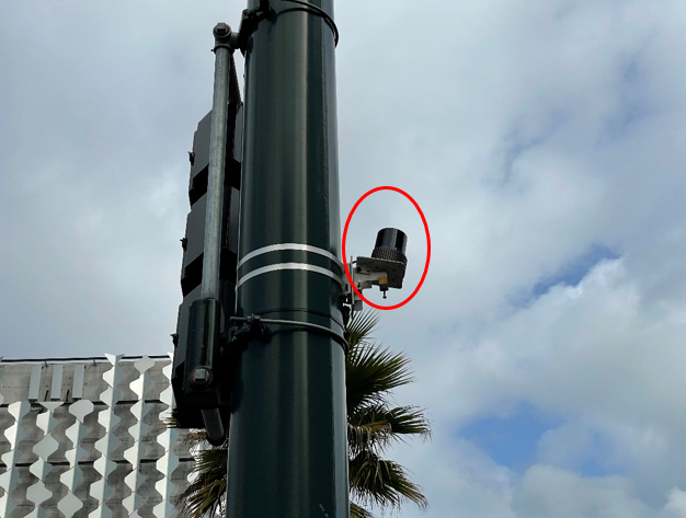
Sensor mounted on a traffic signal pole
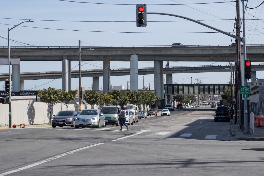
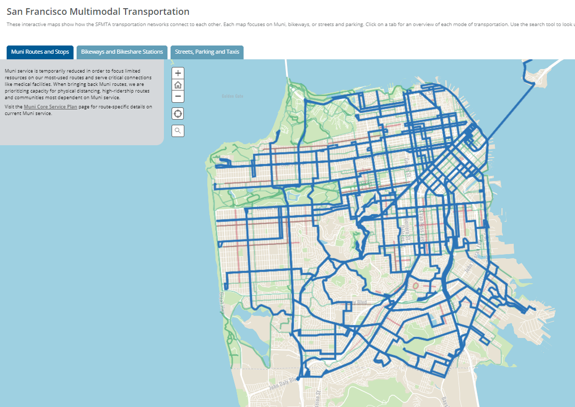
The pilot will take place along 3rd Street at 10 intersections in the Mission Bay neighborhood. This corridor was selected based on the presence of upgraded traffic signal infrastructure and the opportunity to explore several operational challenges:
- Accommodating the time needed for people walking in crosswalks on wide streets while also prioritizing an extended green light for transit
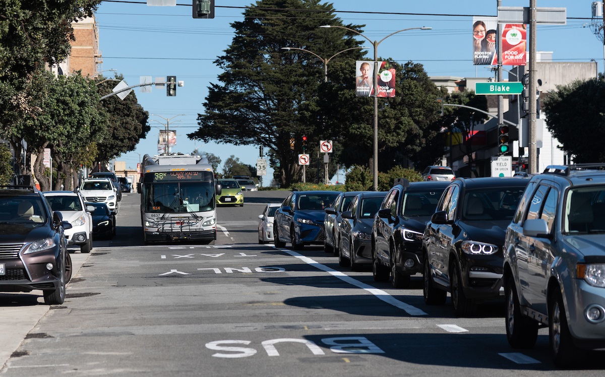
- Reduced ability to prioritize signal timing in both directions of travel because of frequent transit operating in both north and south directions of 3rd Street
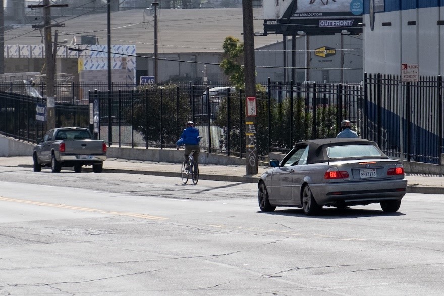
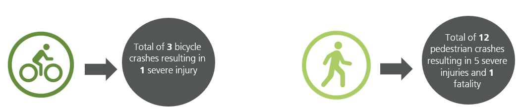
- High volumes of people walking and bicycling due to the presence of a hospital, research hub, waterfront and two sports facilities in the area
- Variable waiting times for passengers to exit and enter at Muni Metro platforms impact the predicted arrivals of Muni vehicles on green lights further down the line
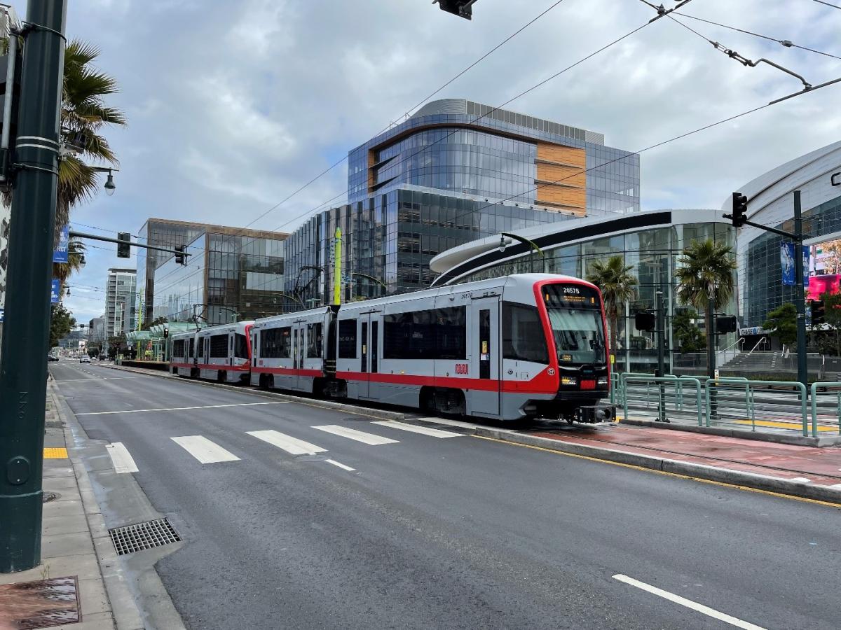
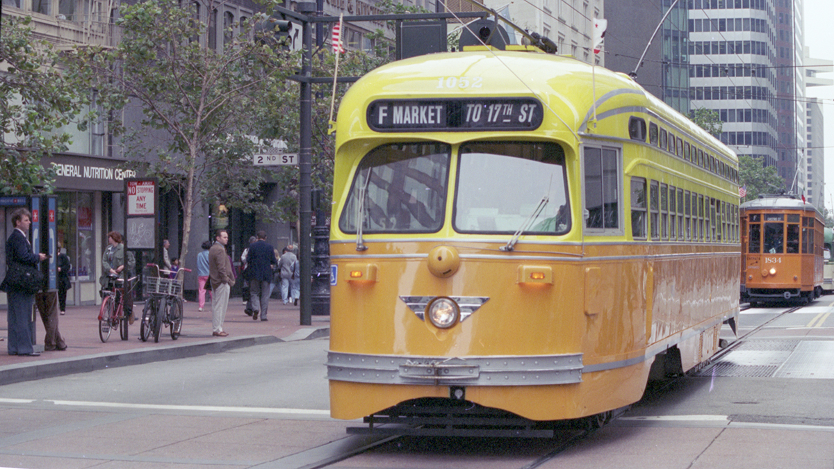
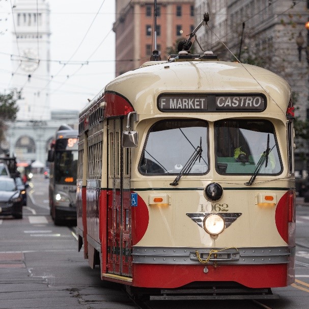
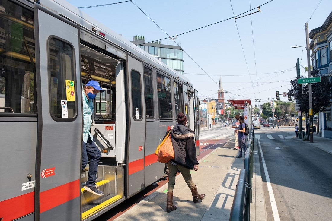
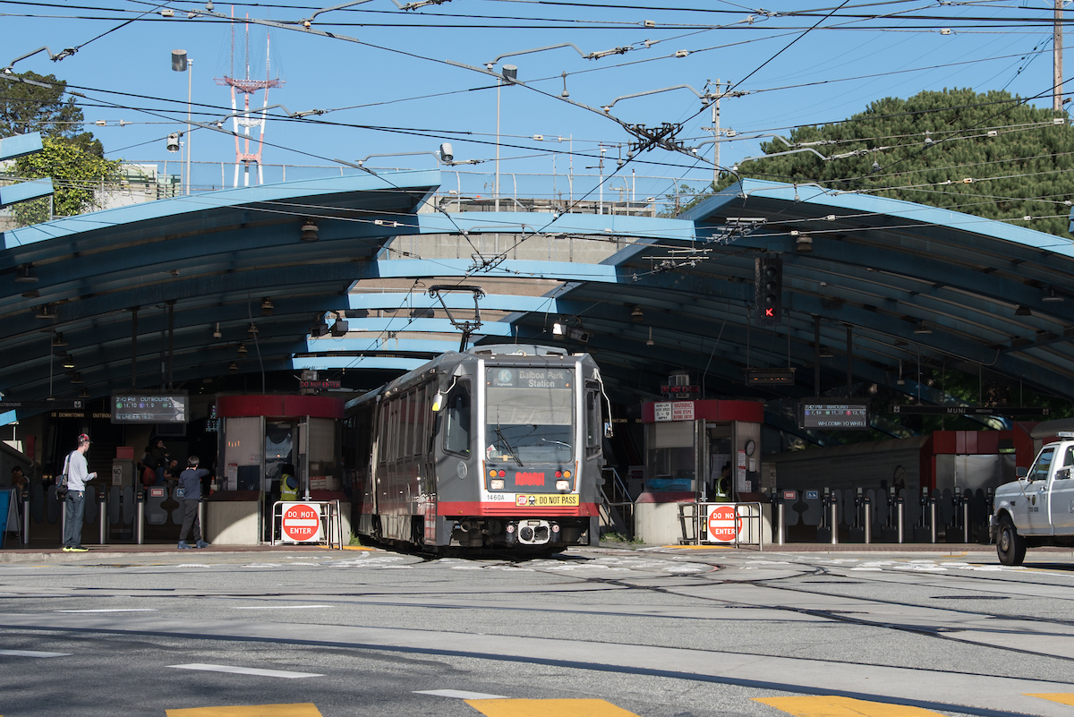
Muni Metro traveling on 3rd Street
These challenges provide opportunities for innovation. The project team seeks to build and test an integrated technical solution using real-time data and advanced traffic flow algorithms. These tools can dynamically adjust the signal phasing based on actual traffic flow conditions and the presence of people using various transportation modes. Real-time data availability and analysis will enable more precise predictions of when the train will reach the downstream intersections so that a green light is more likely to be provided, thus reducing the amount of time people on the transit are stopped at red lights.
Sensor installation is completed with the overall project scheduled to be completed by the fall. Check the project webpage to see future updates on project status, data analysis and reports.
Published May 27, 2021 at 01:57PM
https://ift.tt/3wDtp72